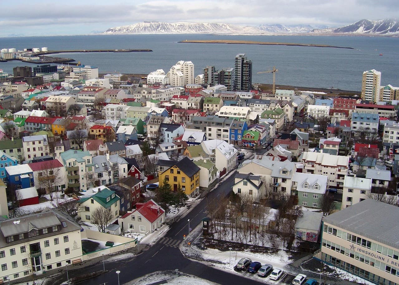
Outdoor
Reykjavík sits on a peninsula with water on three sides and Mount Esja across the bay. When the weather cooperates, the outdoor list runs from 20-minute coastal strolls to a half-day Esja ascent.
5 picks available
The Outdoor Brief
The ring around the city
The coastal path from the Old Harbour west to Grótta Lighthouse is the single most-walked outdoor route in Reykjavík — about 4 km one way, flat the entire distance, with the Esja ridgeline across Faxaflói bay on clear days. Grótta itself is a tidal island with a small lighthouse, walkable at low tide; the Kvika foot bath nearby is a 38°C geothermal dip free to use.
The peak
Mount Esja is Reykjavík's defining horizon — a flat-topped 914-metre basalt massif about 10 km north of the city across the bay. The standard ascent to Steinn (the 580-metre intermediate cairn) takes 60–90 minutes up and 45 down. Well-marked; the trailhead at Mógilsá is a 30-minute drive or the Strætó 57 bus from Mjódd.
The pocket parks
Klambratún is the large downtown lawn behind Kjarvalsstaðir — summer picnics, winter cross-country skiing. Öskjuhlíð is a forested hill around Perlan, with hiking paths, WWII bunkers, and the Nauthólsvík geothermal beach on its south side. Laugardalur in the east is a full park valley: botanical garden, running track, petting zoo, pool complex, ice rink. Heiðmörk, just south of the city, has 28 km of marked hiking trails and Iceland's largest forest.
Guides & Articles: Outdoor
Deeper reads for outdoor in Reykjavík — written by locals who actually do this stuff.

Outdoor Experiences
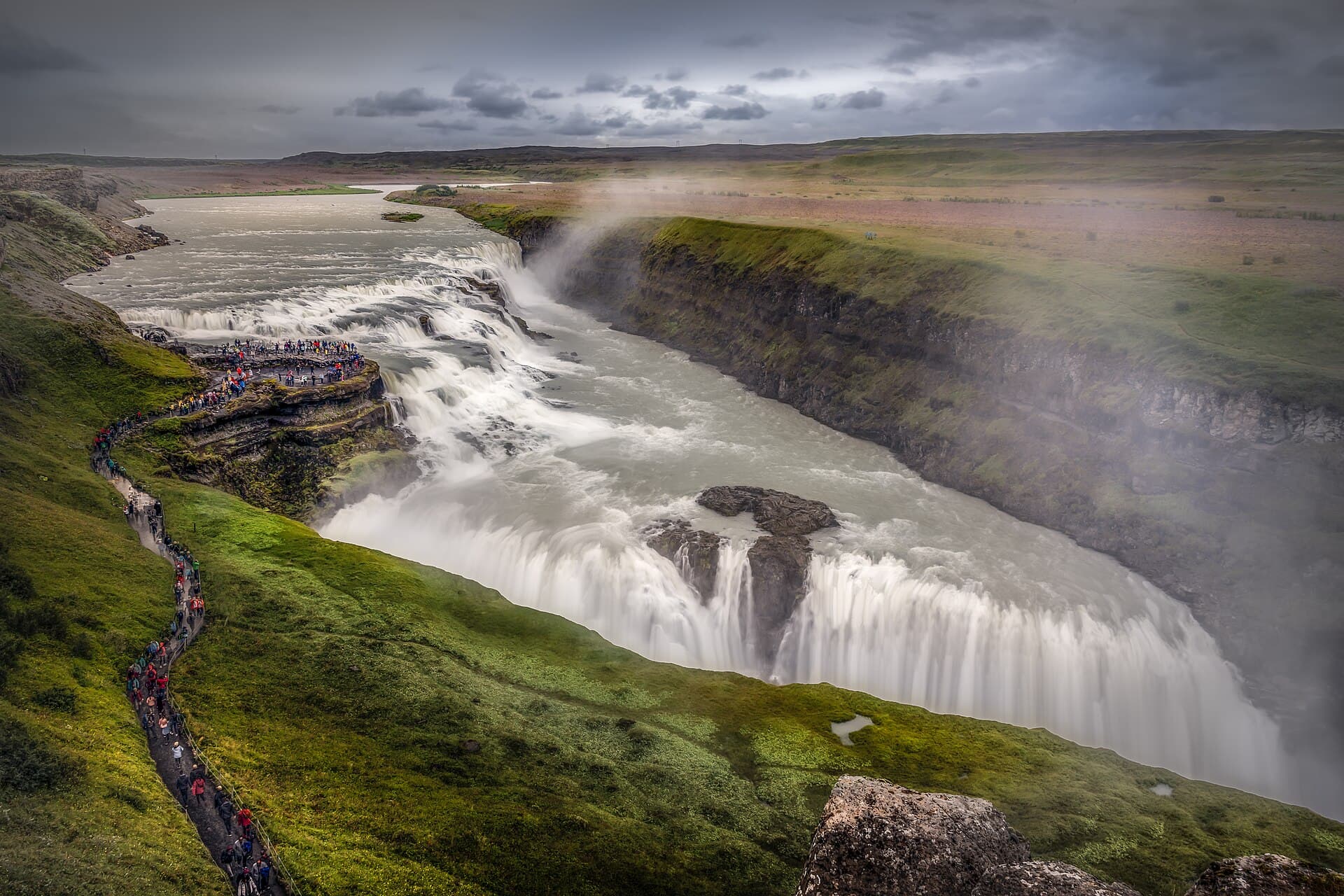
Golden Circle Day Tour
4.7A full-day guided tour to Iceland's most famous natural wonders: Þingvellir, Geysir, and Gullfoss.
Reykjavík Food Walk
4.8Taste your way through downtown Reykjavík with a local guide, sampling traditional and modern Icelandic cuisine.
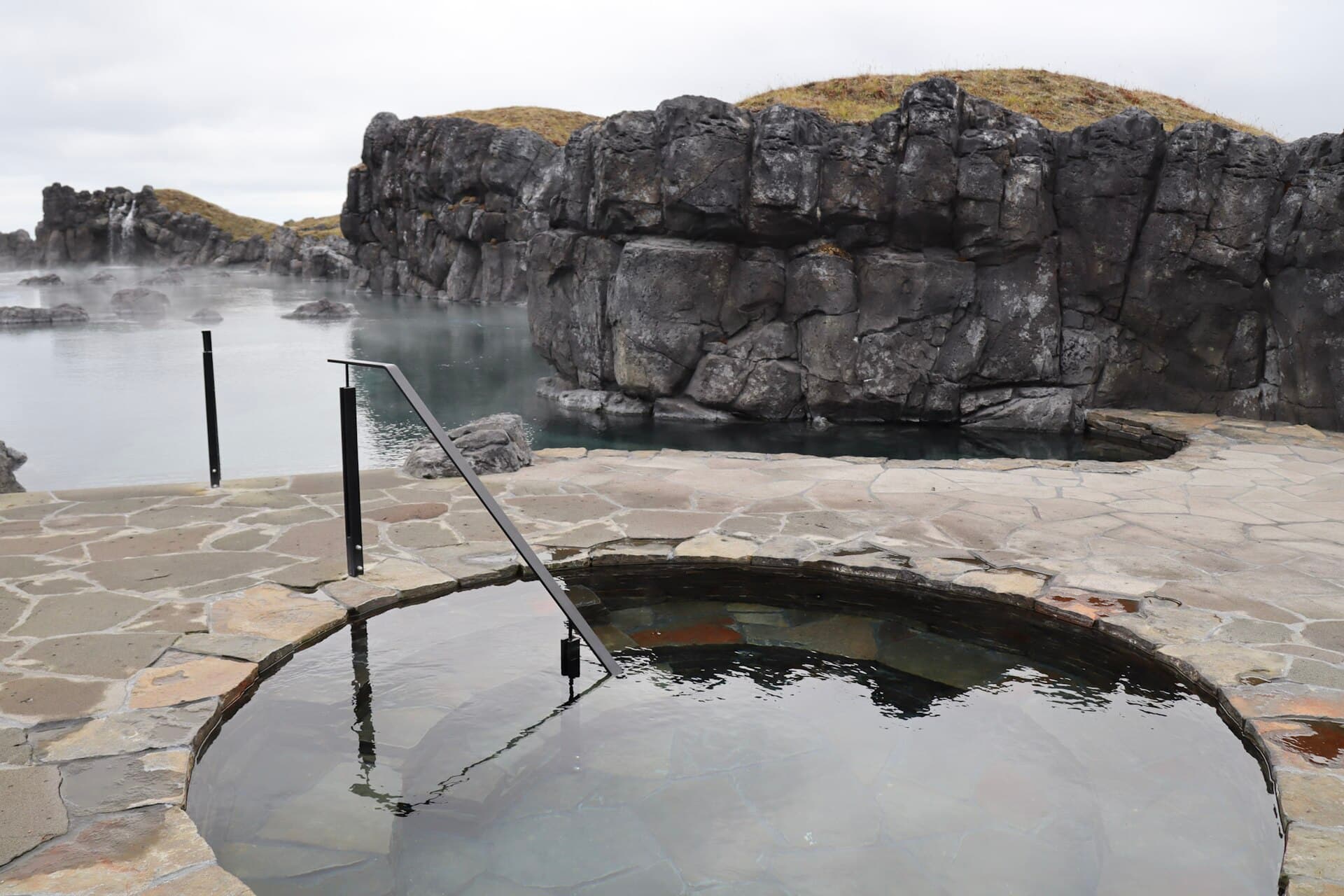
Sky Lagoon
4.5An oceanside geothermal lagoon with an infinity edge overlooking the Atlantic and a traditional Icelandic bathing ritual.
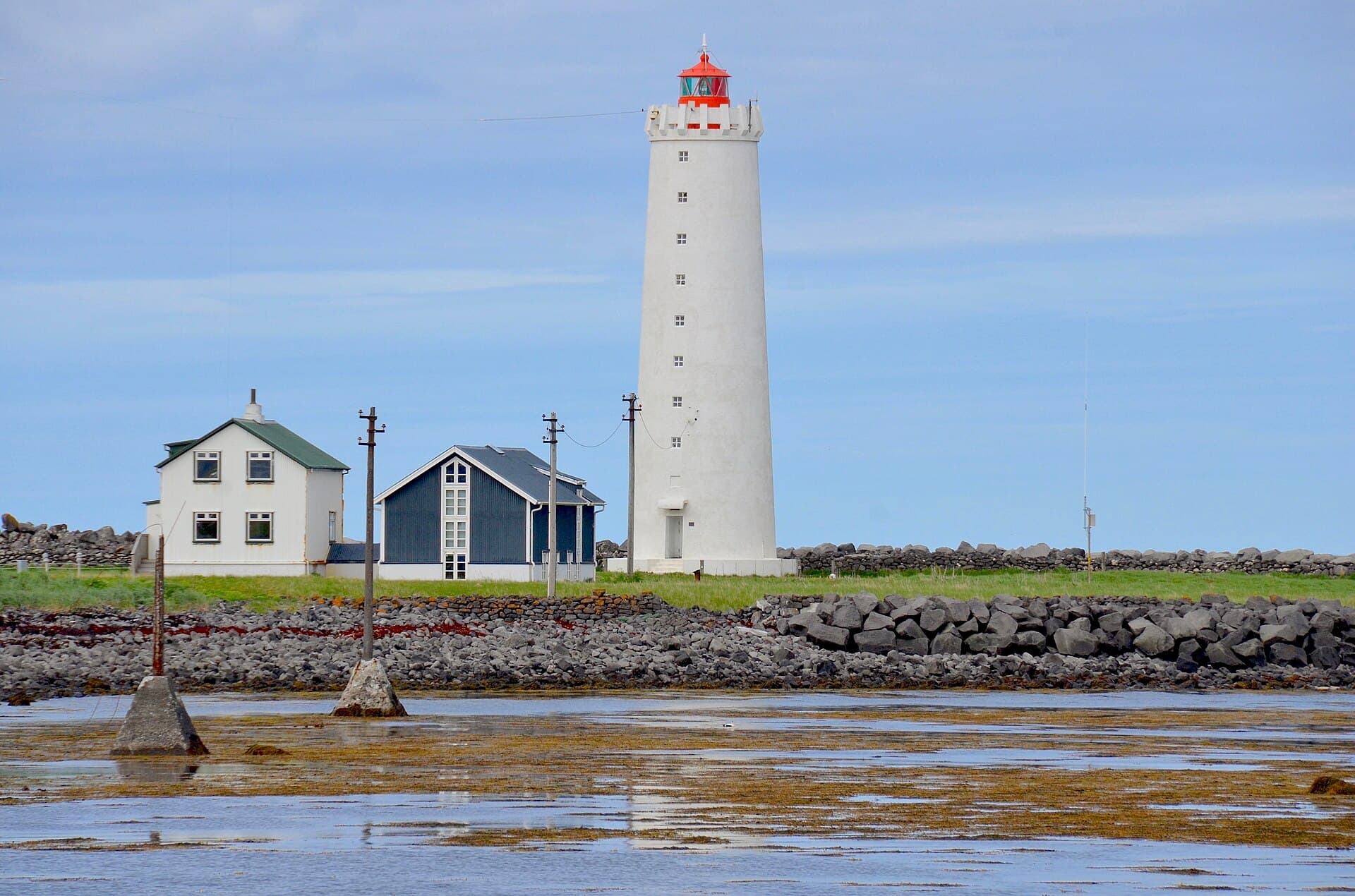
Grótta Lighthouse Walk
4.7A scenic coastal walk to a historic lighthouse and nature reserve at the tip of Seltjarnarnes.
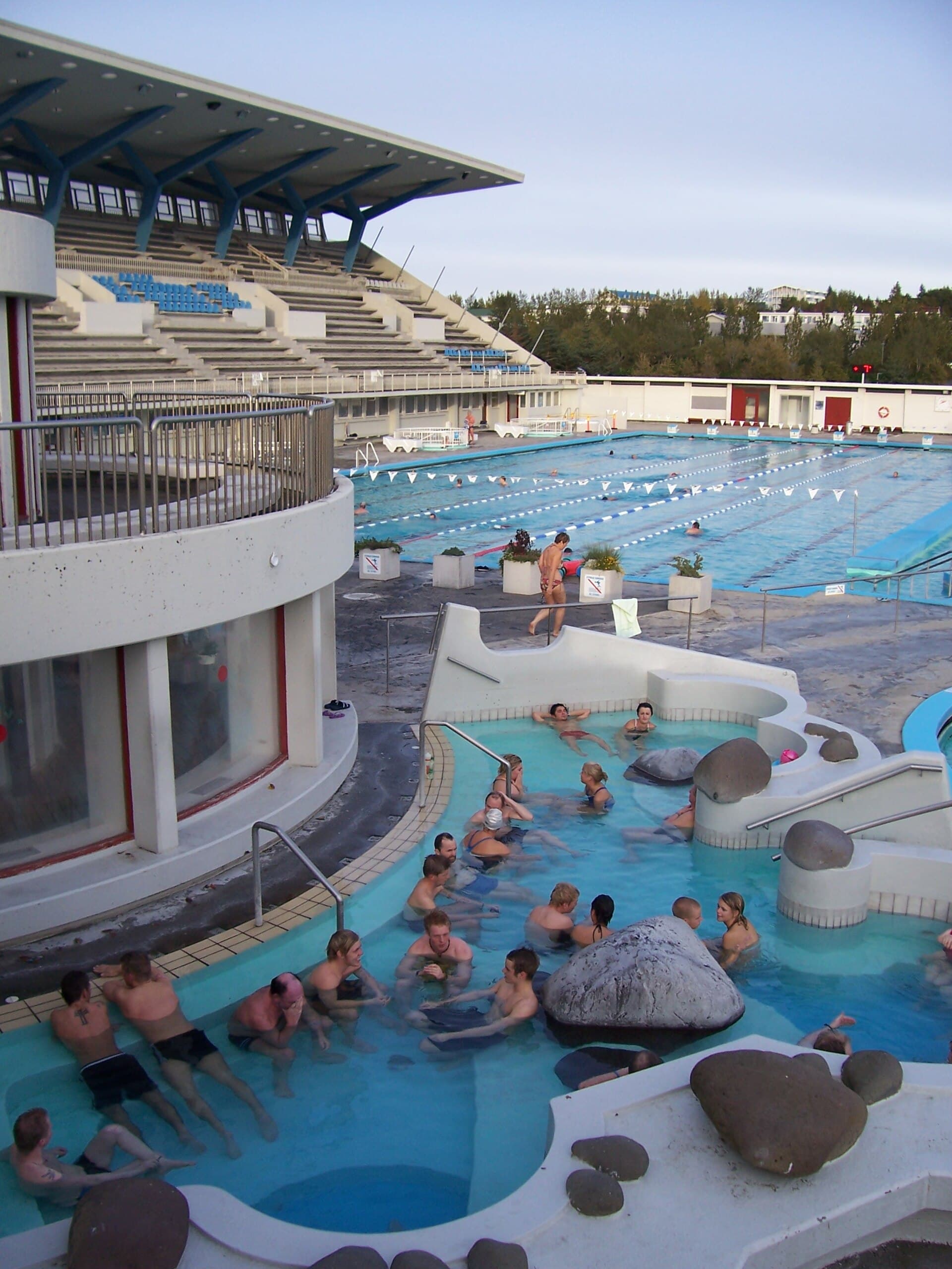
Laugardalslaug
4.5Reykjavík's largest public geothermal pool complex with hot tubs, a steam bath, and a waterslide.